Formentera, a paradise in the Mediterranean
The island
Formentera — a small island full of life
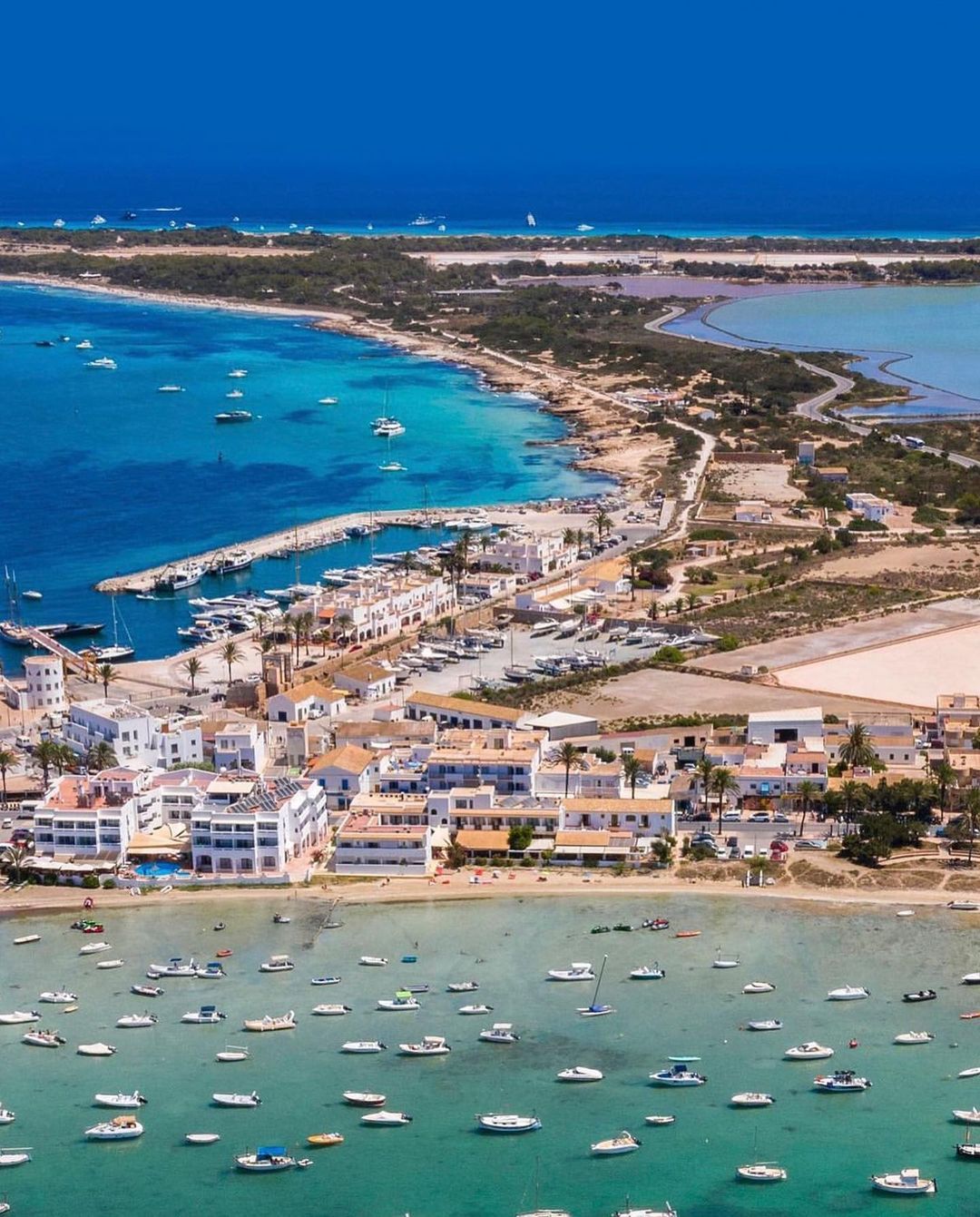
Formentera is the smallest inhabited island of the Balearics, located just south of Ibiza, only 2 nautical miles away (about 3 km). The actual distance between the ports of Ibiza and La Savina is 12 nautical miles (19.3 km).
Although it covers only 83.2 km², its irregular shape gives it 69 km of coastline, with endless beaches, quiet coves and peaceful corners that make it a unique Mediterranean destination.
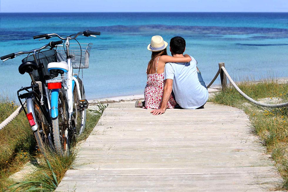
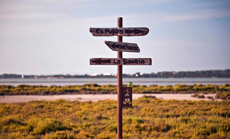
Formentera is a small, accessible and very easy island to explore. Much of it can be enjoyed by bike, thanks to its green paths, pine forests, juniper groves and rural interior. For longer distances, the island offers cars, scooters and public transport, with several routes connecting the main points of interest.
Formentera beaches
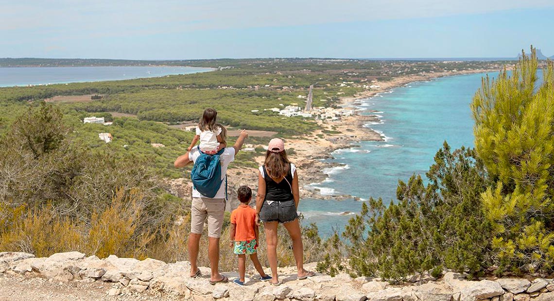
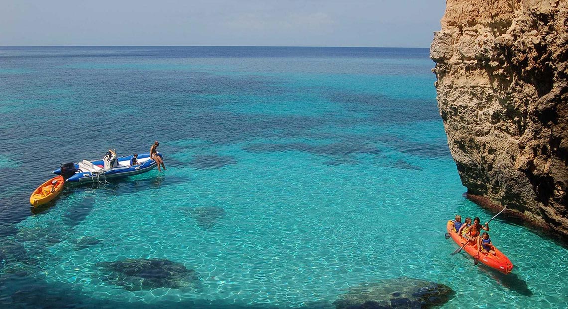
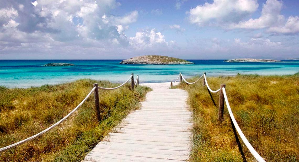
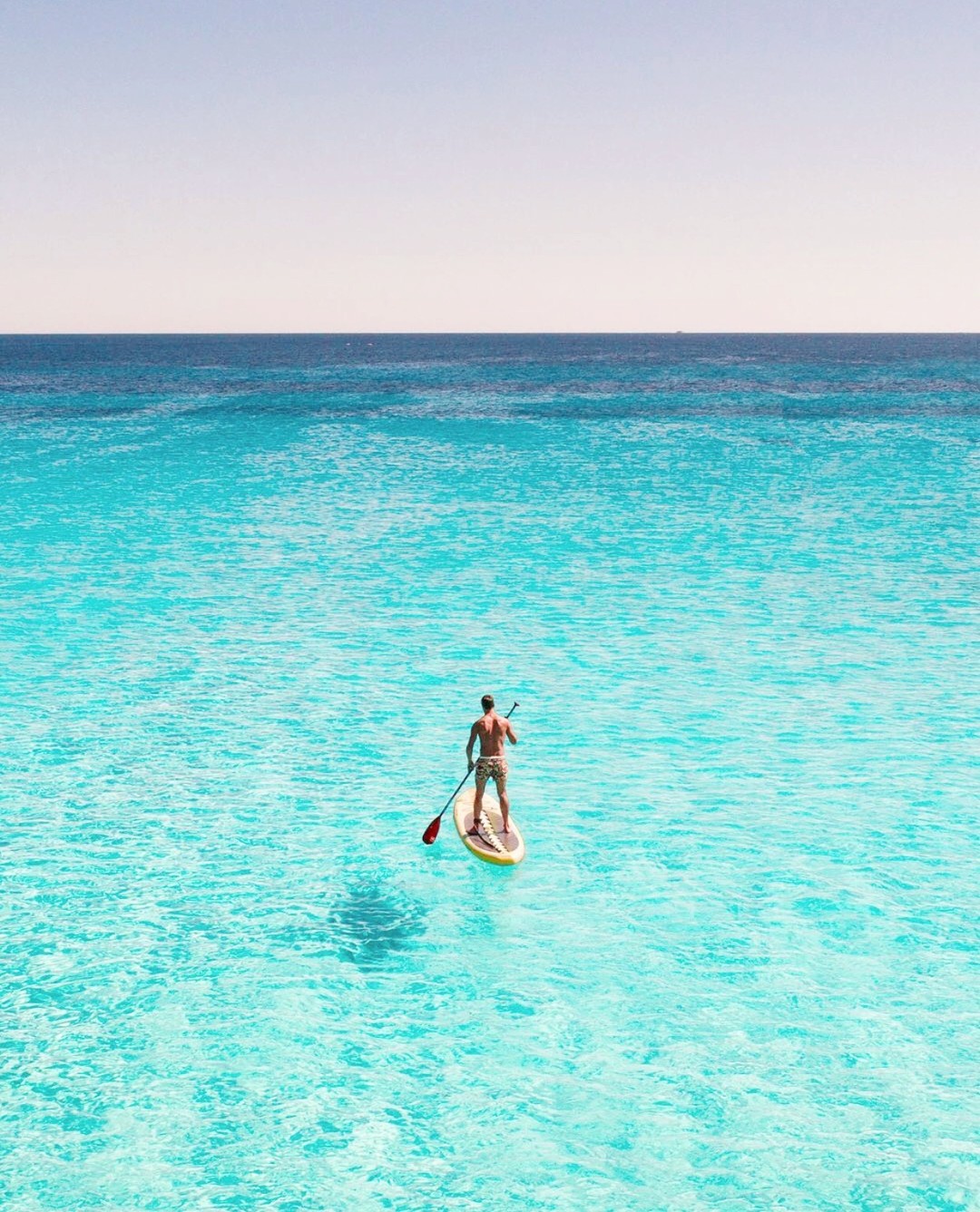
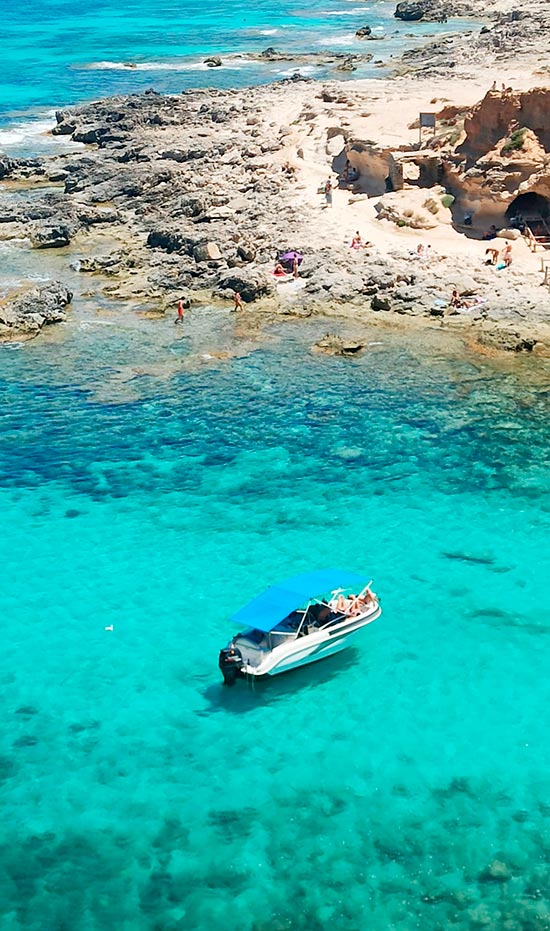
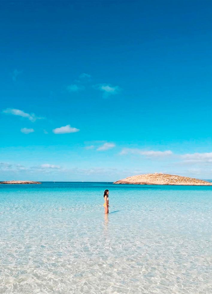
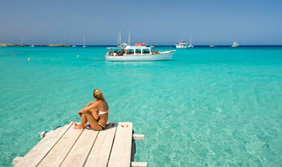
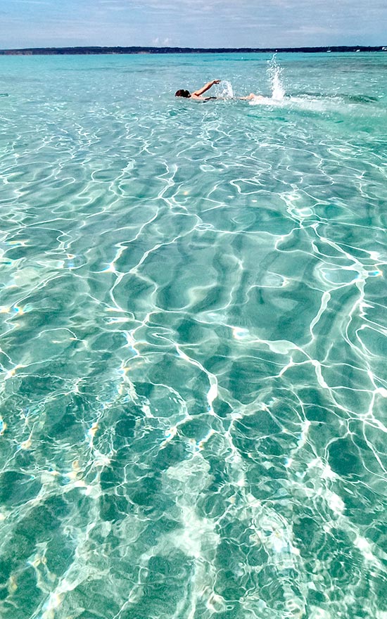
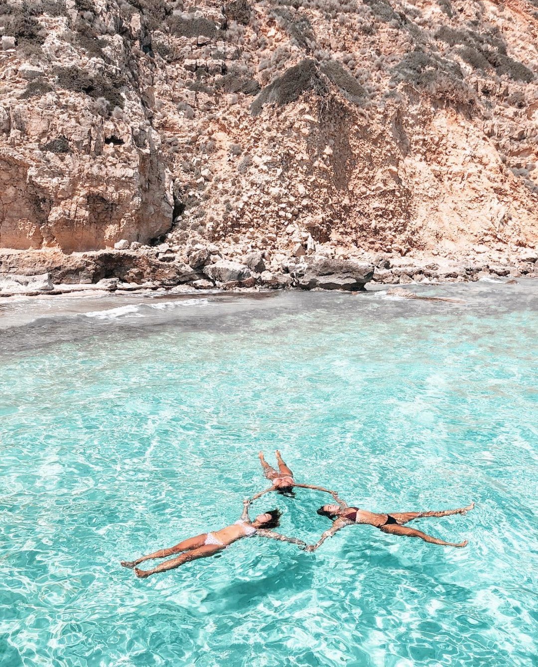
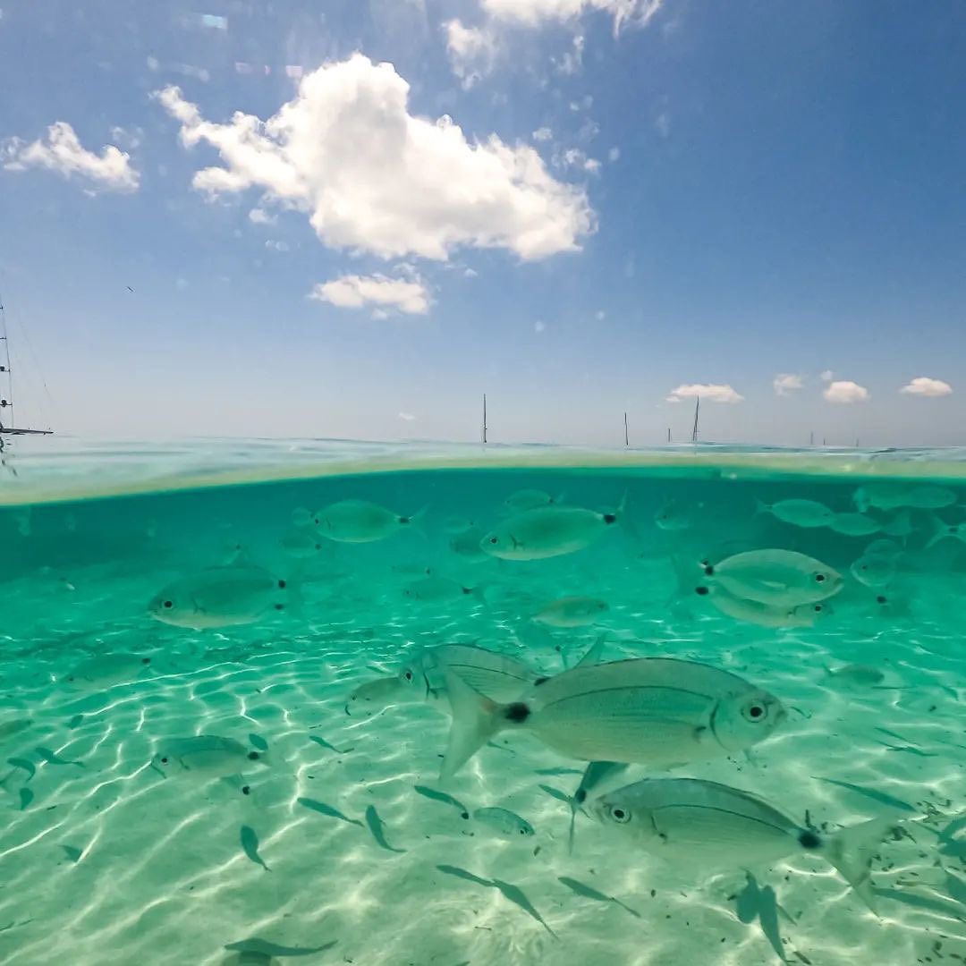
Formentera is known and valued for its beaches of transparent waters and fine white sand that leave visitors speechless with their turquoise hues. These are protected beaches, little altered by man, set in a territory equipped with modern tourist infrastructures of a family nature. Looking at Formentera’s peculiar outline, three large beach areas can be identified: on the northeast side, the coasts of Llevant and Tramuntana; on the opposite side, the northwest coast with the island’s most famous beaches, Illetes and Cavall d’en Borràs; and to the south, the coast of Migjorn.
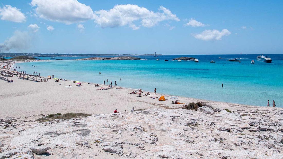
The Es Trucadors peninsula, in the north of the island, is a long tongue of sand that narrows from south to north. On it are the beaches of Llevant, Ses Illetes and Es Cavall d’en Borràs, which occupy the western side. Illetes is the island’s most famous and most visited beach. Despite the high concentration of visitors at midday, walking beyond the last authorised car park one can find almost deserted stretches, even in high season. The nearby beach of Llevant is much less crowded than Illetes. It occupies the entire eastern side of the sandbar and is also of fine white sand, although with small rocky surfaces. Advancing towards the north, these two beaches are so close together that you can spread out your towel in the middle and contemplate both at the same time.
All this territory lies within the Ses Salines d’Eivissa i Formentera Natural Park, an area of great environmental protection. Those visiting by motorcycle or car have to pay a fee at the entrance to the park; those accessing it on foot, by bicycle or electric vehicle do so free of charge.
S’Espalmador, Migjorn and other beaches and coves
In the natural continuation of Es Trucadors we find S’Espalmador, a private island but for public enjoyment. It is very easy to walk around and has several beaches; the most visited is S’Alga on its west coast. To reach S’Espalmador (swimming across is prohibited due to currents) there is a local company that makes several trips daily from the port of La Savina, stopping at Illetes beach. Other options are to book a boat excursion or hire a boat.
The other large beach on the island is Migjorn. Its 5 km stretch in the shape of a half‑moon covers the entire south of the island from the area of Es Mal Pas to that of Es Copinar. The Migjorn beach has sectors with their own place names that differentiate one area from another: Es Mal Pas, Es Ca Marí, Racó Fondo, Còdol Foradat, Es Valencians, Es Arenals and Es Copinar.
Special mention goes to Es Caló des Mort, a small cove following the Migjorn beach, separated from the Es Copinar area by a rocky and steep zone.
On the west coast of the island, cliffs predominate, among which appears a small natural bay of great scenic beauty and clear waters: Cala Saona beach, very popular with families since its clear waters are shallow. It is also framed by small cliffs and numerous boathouses in good condition.
The Tramuntana coast occupies the central north part of the island and is a type of low rocky coast. It is rewarding to walk it, starting at Racó de sa Pujada; among the numerous rocky sections it is relatively easy to find sandy nooks. It is one of the quietest places, even in high season. The only coastal settlement in this area, Es Caló de Sant Agustí, is highly valued by residents and visitors for its fishing port and its gastronomic establishments. Just two minutes on foot are Ses Platgetes, two small contiguous coves where sand alternates with rocky surfaces.
At the westernmost end of this coast is Cala en Baster, a rocky cove surrounded by high limestone walls where the boathouses built in natural caves stand out. To access it easily you must do so from the town of Sant Ferran.
In Formentera there are two beaches adapted for people with reduced mobility: Es Pujols and Arenals. Both have access ramps, a shaded platform, handrails, amphibious chairs and lifeguards. Arenals has adapted toilets and reserved parking.
Practical advice and detailed information in the Beach Catalogue
Places of interest
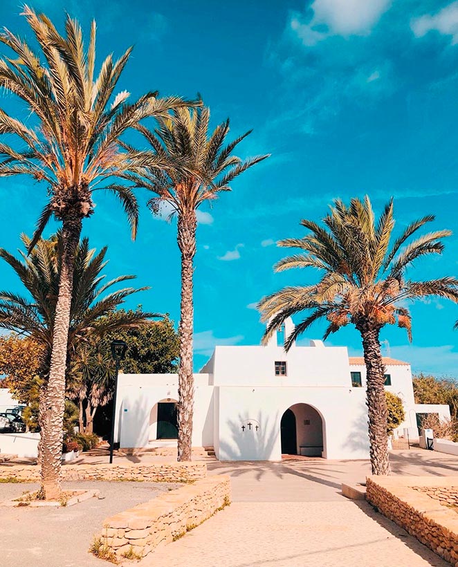
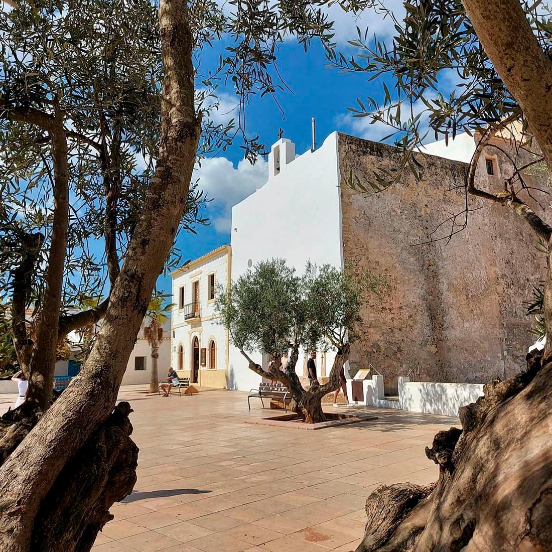
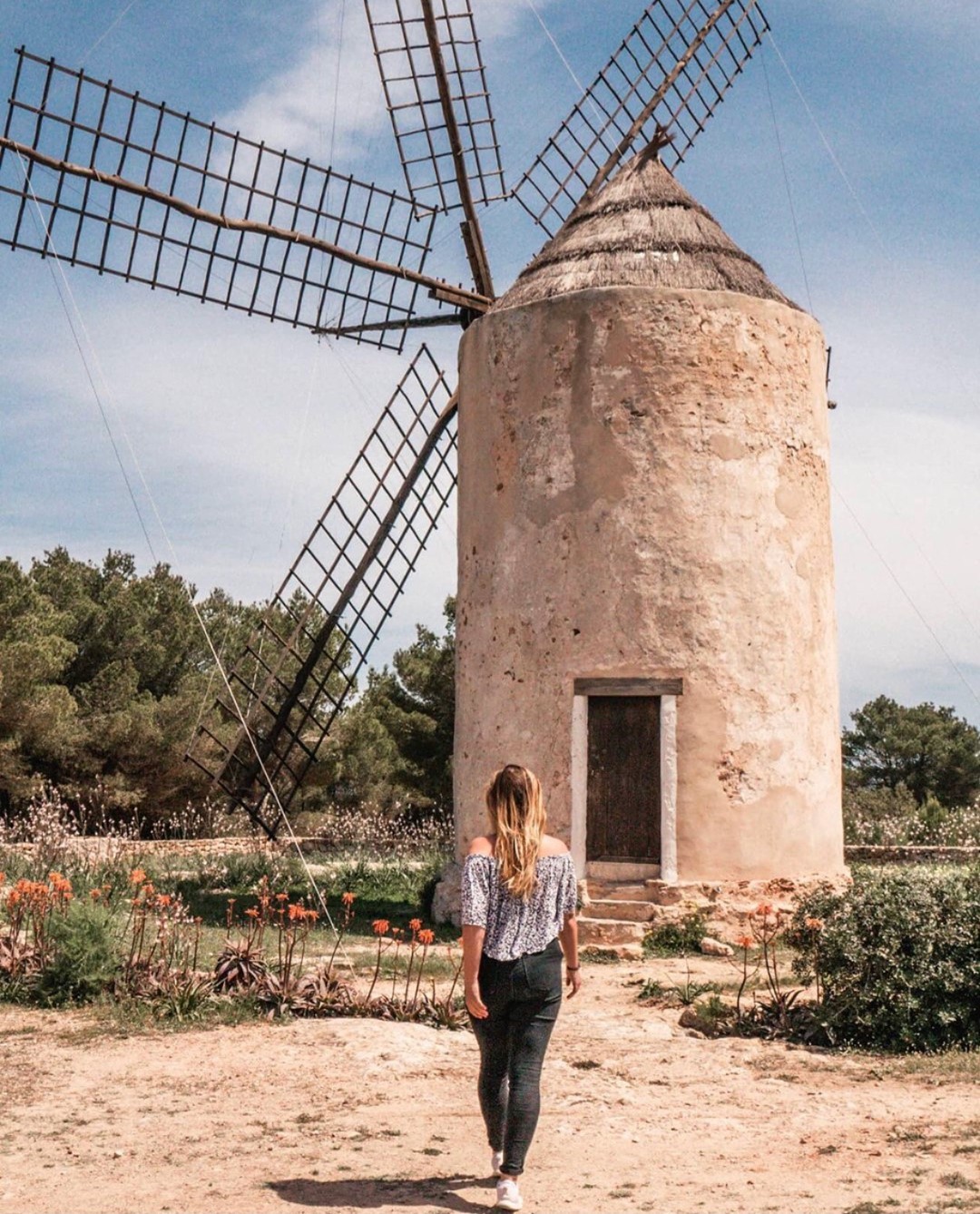
Formentera is known for its beaches and crystal‑clear waters, but the island’s interior also offers small villages, lighthouses, towers and windmills, lakes and salt flats, hidden caves, and beautiful forests of juniper and pine alternating with dunes and oddly shaped rocks.
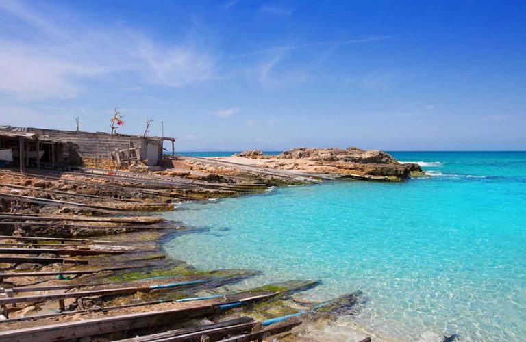
Es Caló de Sant Agustí – A small fishing village with a peculiar natural harbour and traditional restaurants. Its wooden boat ramps, whose function is to protect small boats from salt water, were declared a cultural site in 2002. The walk around the area is full of contrasts: the small sandy coves of Ses Platgetes to the west and the cliffs of La Mola to the east. Very close is the start of the green route 25, which covers the historic path to climb to La Mola, known as the Camí de Sa Pujada. As you ascend you enjoy the best panoramas of the island, Racó de Sa Pujada and Pou des Verro.
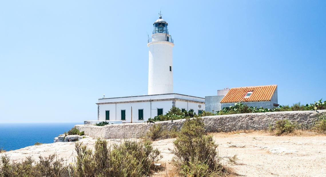
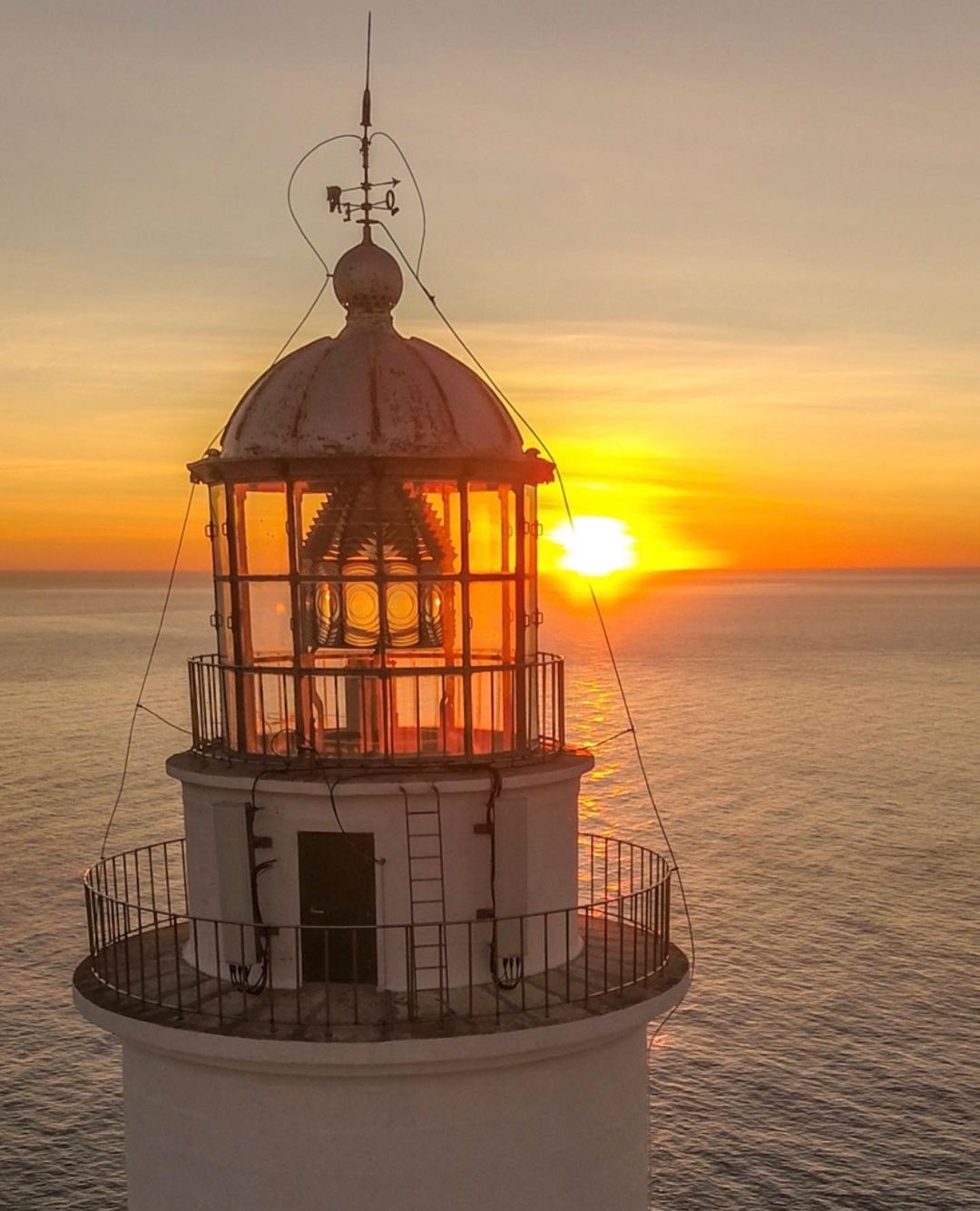
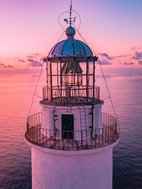
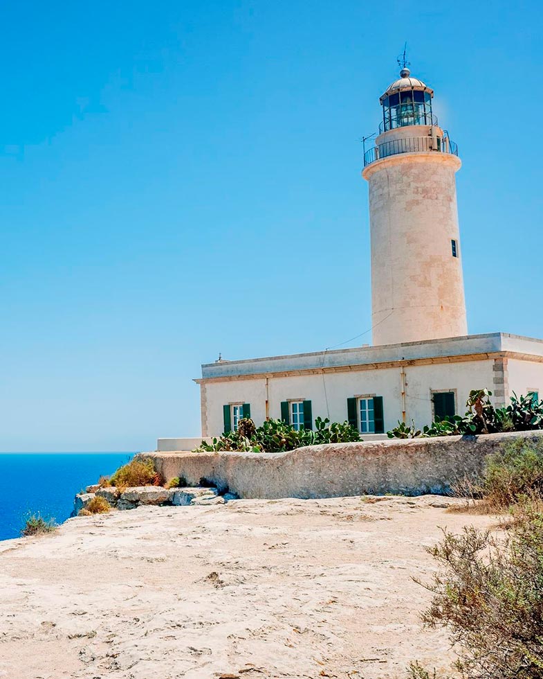
La Mola lighthouse – At the eastern tip of the island, considered by many visitors to be a magical place, a lighthouse at the end of the world. Next to the lighthouse is a monolith in honour of the writer Jules Verne for the mention he makes in his book “Hector Servadac”. The most direct way to reach the lighthouse from the village of Pilar de La Mola without stepping on the road is via the green route 29, a route that transports the visitor 100 years back through the rustic character of the rural landscape and the presence of livestock. A splendid panorama from the cliffs of La Mola crowns this unforgettable walk.
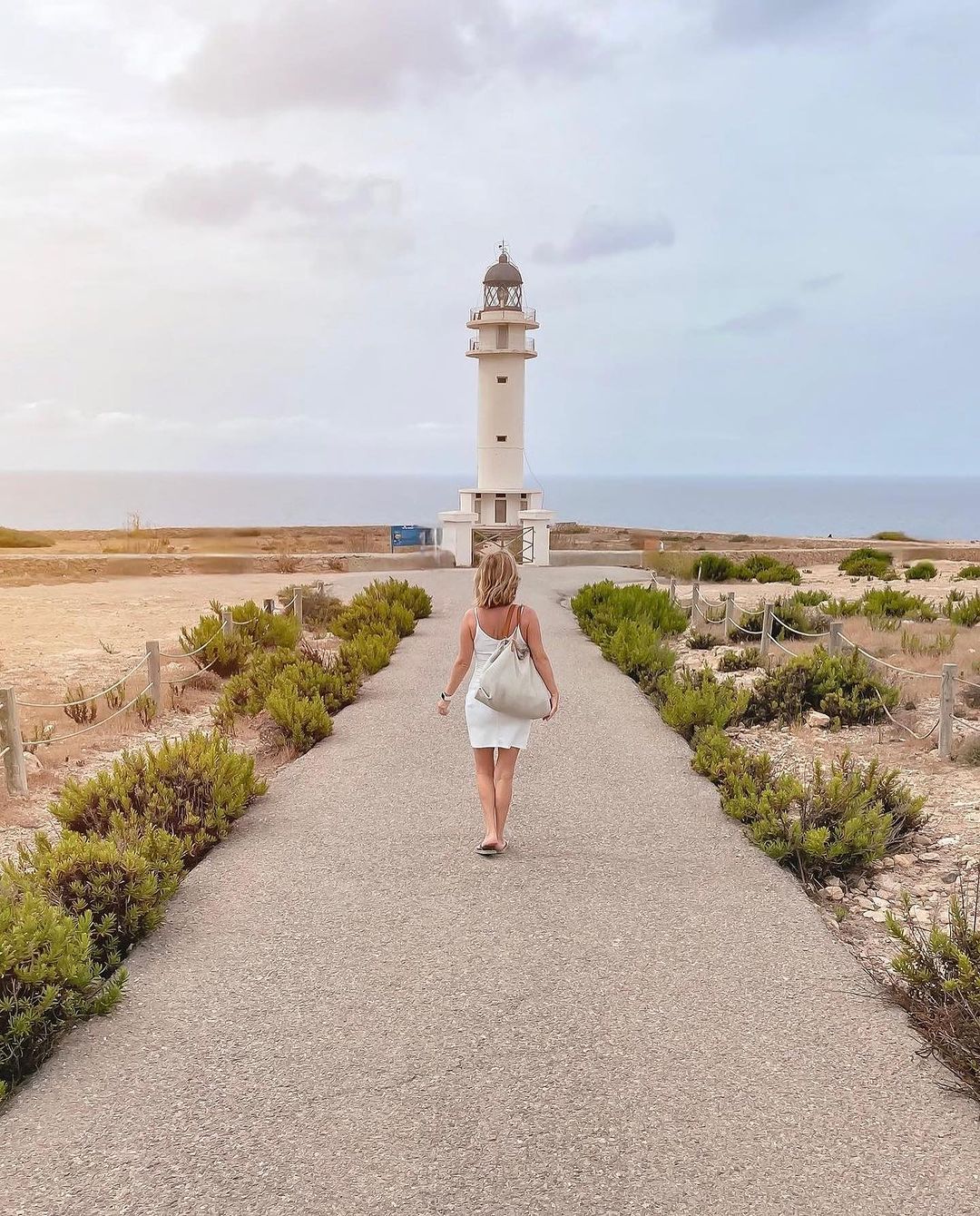
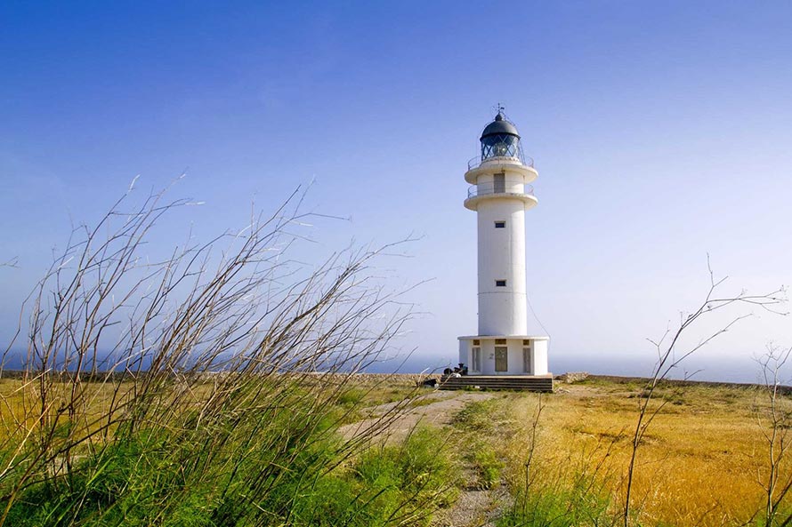
Cap de Barbaria lighthouse – Iconic image: an almost desert landscape, a narrow road, the lighthouse in the middle and the blue of the sea in the background. Popularised by the film “Lucía y el sexo”. Es Cap de Barbaria is the southernmost rocky elevation of the island. A place of sensations of immense solitude and freedom, meeting point to watch sunsets with views of the islet Es Vedrà. Nearby is the 18th‑century watchtower Torre des Garroveret, which once protected the island from invaders. Green routes 8, 10 and 11 lead here, passing through the prehistoric sites of Cap de Barbaria
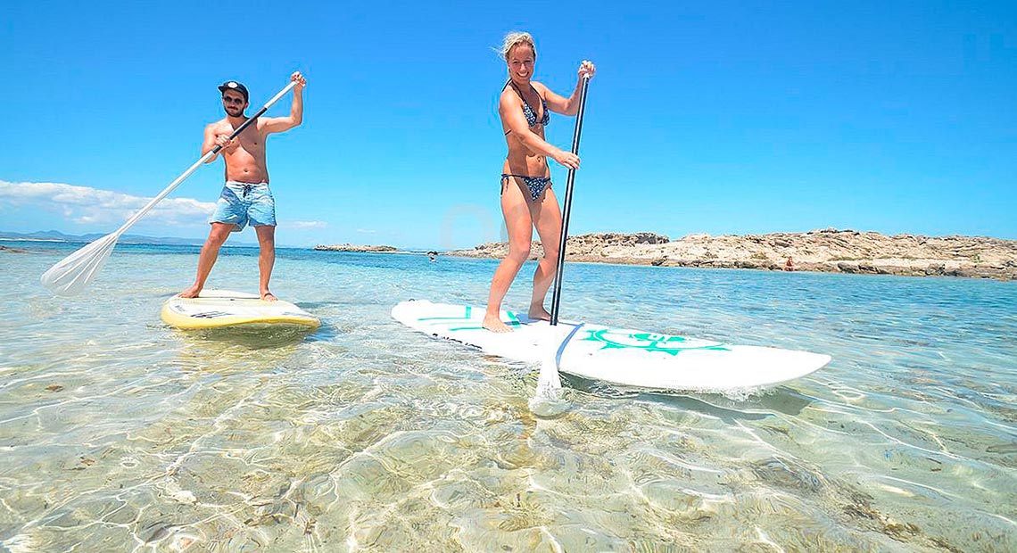
Estany des Peix – A small lagoon with a narrow opening to the sea that allows small boats to enter. Ideal for practising and learning water sports such as windsurfing, kayaking and sailing. Its small, shallow beaches and warm temperature make it a perfect destination for an afternoon at the beach with children.
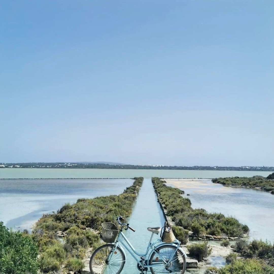
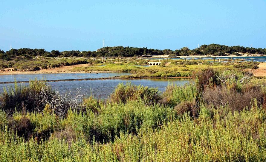
Estany Pudent and Ses Salines – Estany Pudent is a large lake in the north of the island between La Savina and Es Pujols, where bathing is prohibited. It is a highly recommended place for walking or cycling due to its scenic value and for bird watching. The Es Brolls path borders much of the lake and, as its name suggests, contains underground freshwater springs that allow vegetation for birds to nest. In winter it is common to see flamingos, as well as grey herons and ducks. Nearby we find Ses Salines, known for the pink and violet tones they display, especially in summer. They are a cultural heritage of Formentera and were the only industry on the island in the pre‑tourism era.
Can Marroig and Punta de Sa Pedrera – Visiting the eastern coast, between the port of La Savina and Cala Saona, we find a rugged coastline made up of a desert of strangely shaped rocks, known as Sa Pedrera, which was once a quarry. Visiting this coast from the sea by boat allows you to enjoy its immense marine wealth; it is recommended for snorkelling due to the shallow water near the coast and for diving due to the Posidonia meadows. Completing this varied landscape is the nearby wooded area where the estate of Can Marroig is located. Here you can enjoy the shade of its pines and junipers or take a break using its facilities prepared for a family picnic. Moreover, this space offers visitors information and educational activities related to the protected natural environment.
More routes and charming places can be found on the Green Routes Catalogue .
Info formentera.es
Useful phone numbers and links
Information for the Ibiza – Formentera ferry line
PROXIMO FERRY
www.proximoferry.com
Tourist Office
+34 971 322 057
www.formentera.es
Ayuntamiento de Formentera
+34 971 322 034
conselldeformentera.cat
Policía Local
092/971 32 20 87
Guardia Civil
971 32 20 22
Bomberos
112
Ibiza Airport
971 809 000
971 32 10 87
Emergencies
112
Hospital de Formentera
971 32 12 12
Farmacia Sant Francesc
971 32 24 19
Farmacia Es Pujols
971 32 86 63
Farmacia Sant Ferran
971 32 80 04
Taxis Radio Teléfono
971 322 342
Taxi La Savina
971 322 002
Taxi Es Pujols
971 328 016